View westerly from Corregidor with Mariveles Harbor at right.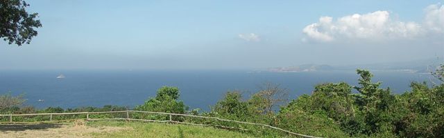
The relief map below shows Corregidor Island as it appeared before World War II, when it was twice subjected to intense bombardment as other photos show. [Descriptive text is in preparation.]